Food and Drink
 Shopping
 Transportation
 Accommodation
 Useful Tips
 By Destination
 By Interests
 Pre-departure Guides
 Travel Updates


The Silk Road may be the most famous historic network associated with China, but it tells only part of the story of how people once moved across the country. Beyond the great trading routes that connected China, other roads linked villagers with neighboring communities, traders with markets across the mountains and cities with the regions that supplied them.
GUDAO (古道) means ancient road or trail, and many of these routes can still be followed on foot today. For travelers interested in hiking in China, they offer another way to experience its landscapes and history.
Connecting mountain villages: Songyang Ancient Trails
In Songyang, moss-covered stone paths climb beside streams, disappear into bamboo forest and emerge among terraced tea fields. More than 75 traditional villages are scattered through the mountains of southwest Zhejiang, their rammed-earth houses and tiled roofs tucked into the slopes. Before modern roads reached them, these routes were how people moved from one settlement to the next.
Following the old trails today takes hikers through the hills and villages along the way. From Longdian’er Bridge, one section passes a temple dedicated to a local rain god before climbing through the forest toward Chenjiapu, a village perched above tea terraces and bamboo. Farther along, in Songzhuang, a centuries-old stone arch bridge spans the water, its carefully fitted stones holding together without mortar.
Along the route, the surrounding hills are still closely tied to daily life: tea is picked and processed locally, while a village herb master gathers medicinal plants and uses knowledge passed down through his family to prepare duanwu tea.

Supplying the capital: Jingxi Ancient Trail
An hour from central Beijing, the Jingxi Ancient Trail climbs through wooded slopes and along exposed ridgelines. Centuries ago, these paths carried people, horses and camels bearing goods and messages. Coal from the mountains traveled the same way to heat Beijing’s homes through its cold winters, part of a wider flow of goods and people between the Western Hills and the capital.
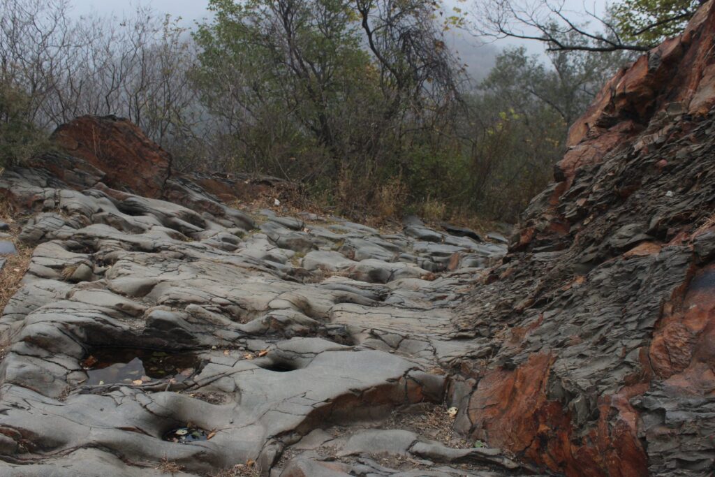
Walking the trail today, evidence of those journeys remains underfoot. At Fengkou’an, an old fortified gateway stands at a mountain pass where goods were once inspected and taxed. Farther along is Matiwo, or “Horseshoe Hollow,” where generations of pack animals wore deep hoof marks into a single mass of rock, some reaching ten centimeters.
Crossing the gorge: Tiger Leaping Gorge
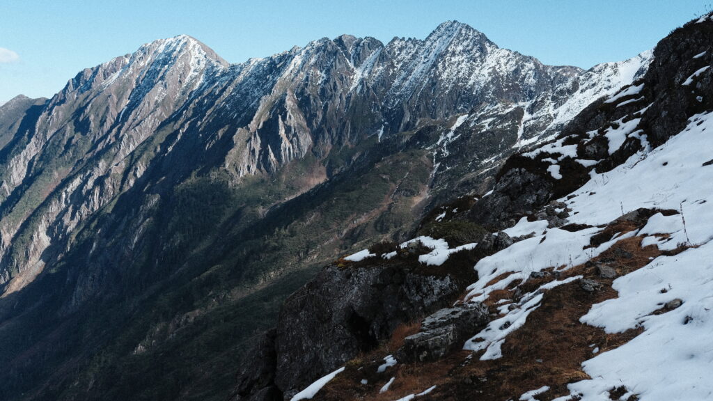
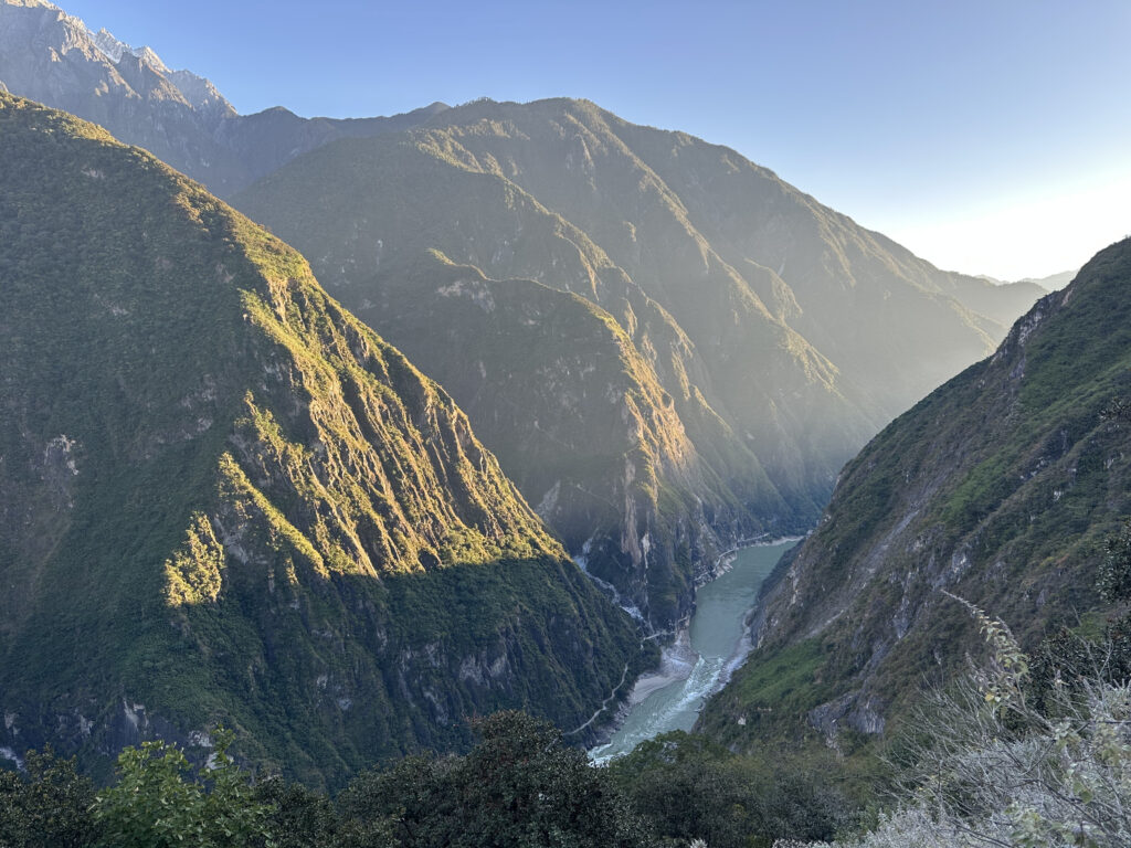
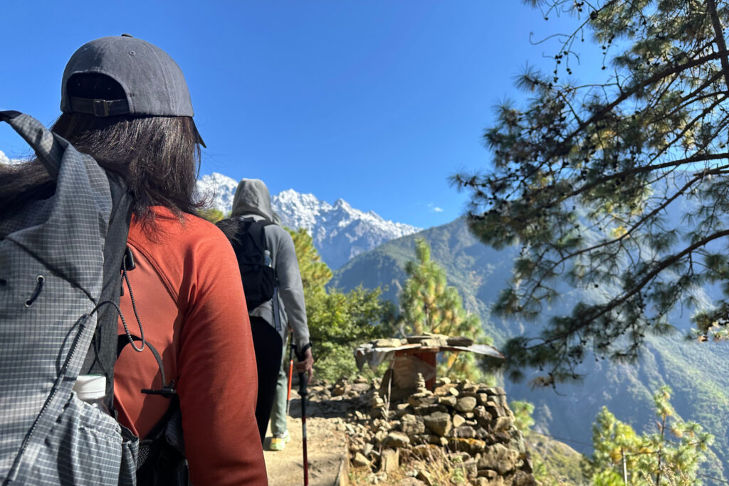
At Tiger Leaping Gorge, the Jinsha River cuts through a deep valley between Haba and Yulong Snow Mountains. The Upper Trail runs high above the river, at times clinging to steep slopes with snow-capped peaks rising across the gorge. For centuries, caravans carrying tea, salt and other goods passed through the gorge as part of the wider Ancient Tea Horse Road network. The terrain forced them to negotiate steep climbs and narrow passages through the mountains.
Today, hikers climb the 28 Bends before continuing along the mountainside, where views open across to Yulong Snow Mountain. The journey also brings this history into the present through meetings with descendants of Tea Horse Road caravan leaders, who share stories passed down through their families. From there, the path descends through the gorge, crossing a waterfall before continuing toward Daju, a historic Tea Horse Road hub of rammed-earth homes and terraced fields surrounded by old walnut trees.
Carrying tea across Yunnan: Ancient Tea Horse Road
There was no single Tea Horse Road. Instead, a network of trails connected tea-producing regions with settlements farther north and west. A cake of Pu’er tea leaving Yunnan could once have hundreds of miles ahead of it. Loose leaves were weighed, steamed and compressed into cakes that could be loaded onto pack animals, making the tea easier to transport through river valleys and over mountain passes toward distant markets, including those on the Tibetan Plateau.
Hiking parts of the Tea Horse Road today reveals just how demanding those journeys could be. In the Nujiang Valley, the old trading route passes wooden bridges on its way toward Wuli, a mountain village of around 60 households. Here, the path cuts into sheer cliffs, giving hikers a sense of the terrain travelers once had to cross.
Reaching remote communities: Missionary Trail
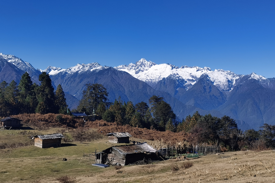
In northwest Yunnan, the scale of the landscape becomes clear around the Three Parallel Rivers, where the Jinsha, Lancang and Nu rivers run through neighboring valleys divided by high ranges. For the communities living between them, mountain trails provided a way from one valley to another. One such path crosses Biluo Snow Mountain, linking Dimaluo in the Nu River valley with Cizhong near the Lancang River.
Missionaries later followed these existing trails to reach communities across the mountains. Today, the multi-day trek climbs from Dimaluo through forests and high mountain terrain before crossing Biluo Snow Mountain and descending toward Cizhong.
Hiking the Missionary Trail today brings that history into view through the temples, churches and communities along the way, where different religious and cultural traditions have met over time. The journey also includes visits with Tibetan families, sharing meals, songs and dances in their homes and learning about daily life in this remote part of Yunnan.

Following the trails today
GUDAO is our way of bringing hikers back to some of China’s ancient routes while working with the communities that know these landscapes best.
Find out more about GUDAO, or speak with our travel designers about following one of these trails as part of your journey through China.